Super Typhoon Ragasa, the world’s most powerful storm of 2025, is churning through the South China Sea after battering the northern Philippines, where it left at least two people dead and several missing. The storm, packing sustained winds of up to 270 km/h, is now approaching Hong Kong, forcing mass cancellations of flights, suspension of classes, and large-scale emergency preparations.
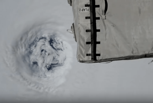
The typhoon’s sheer intensity has attracted global attention, not only from disaster agencies but also from space. Japanese astronaut Kimiya Yui, currently aboard the International Space Station, shared dramatic photos of Ragasa over the weekend, showing the storm’s perfectly round eye and dense spiraling clouds resembling a vast silver-white vortex. “I’m really worried about everyone on the ground,” Yui wrote on X, sparking widespread online discussion. Some users described the eye as “Earth’s navel,” while others said the storm looked like a “giant beast” from above.
Ragasa, the 18th typhoon of the season, has been classified as a Category 5 “super typhoon” by international meteorological agencies, including the Japan Meteorological Agency, China’s National Meteorological Center, and the US National Hurricane Center. Experts warn that its wind speeds are at the upper threshold of the Saffir-Simpson Hurricane Scale, capable of catastrophic destruction.
In the Philippines, Ragasa unleashed torrential rains and powerful surges over the weekend, knocking out power in several provinces and triggering deadly landslides. Rescue teams are still searching for at least five people reported missing.
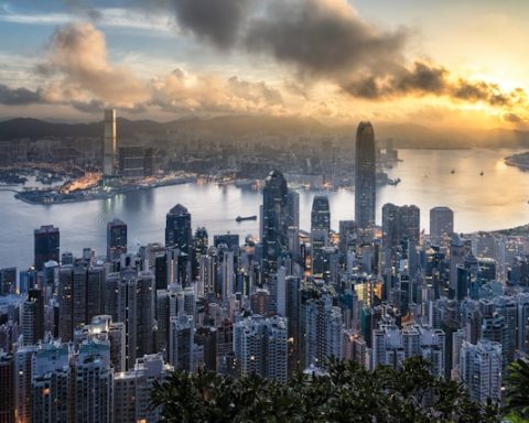
Now, Hong Kong is bracing for a direct hit. As of Tuesday morning, the Hong Kong Observatory reported Ragasa was 460 kilometers east-southeast of the city, moving closer through the Bashi Channel. Authorities announced that the No. 8 typhoon signal would be raised by mid-afternoon, with the possibility of stronger alerts overnight as the storm edges nearer.
Chief Executive John Lee Ka-chiu warned residents that the storm posed “significant threats to the community,” urging the public to stay indoors and prepare for rapidly worsening conditions. “While the forces of nature may test our resolve, let there be no doubt that Hong Kong is going all out and making preparations all round with widened safety margins and heightened readiness,” he said.
The government has activated its Emergency Monitoring and Support Centre more than a day earlier than usual, deployed 200 drainage teams and pumping robots to flood-prone zones, and opened temporary shelters across the city. Classes have been suspended through Wednesday, and airlines have canceled at least 700 flights, including 500 by Cathay Pacific and 100 by its budget subsidiary HK Express.
At Hong Kong International Airport, long queues formed at airline counters as stranded travelers sought to rebook flights. Despite the cancellations, airport authorities confirmed the terminal would remain operational “round the clock” to assist passengers.
Ragasa is expected to pass closest to Hong Kong on Wednesday morning, with hurricane-force winds reaching 230 km/h. Meteorologists warn that the storm could bring severe flooding, landslides, and widespread power outages to southern China before gradually weakening later in the week.