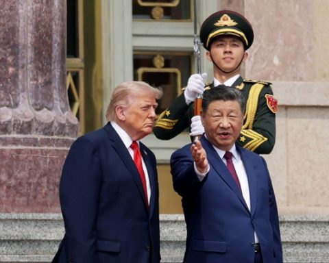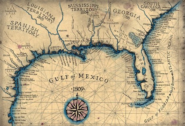
The recent controversy over renaming the Gulf of Mexico to the Gulf of America, a decision pushed by former U.S. President Donald Trump, raises questions about the political power behind the maps we use. While Google Maps has complied with Trump’s directive in updating its map to reflect the new name for U.S. users, the rest of the world will continue to see the traditional Gulf of Mexico name. This divergence illustrates how mapmakers, including tech giants, often align with government policies, as noted by Financial Times.
Maps, it turns out, have long been a tool of political power, used to reinforce territorial claims and national ideologies. From China’s assertion of sovereignty over Taiwan and other maritime zones to Russia’s controversial claims over Crimea, maps have been manipulated to serve imperialistic and nationalistic goals. Even smaller nations, such as Hungary, have utilized maps that reflect historical territorial boundaries to foster a sense of national identity and territorial pride.
As Financial Times highlights, this phenomenon is not a new one. Maps have historically been employed to make political statements, whether in the case of West Germany’s post-World War II maps or in the ideological cartography of Eastern Europe during the Cold War. The renaming of geographical features in the U.S. is just the latest example of how maps can distort reality to serve political purposes.