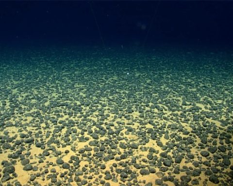
Ocean mapping and open data sources play a critical role in disaster preparedness and monitoring in Sri Lanka, a nation highly vulnerable to marine and coastal hazards such as tsunamis, storm surges, coastal erosion, and sea-level rise.Ocean mapping involves creating detailed charts of the seafloor,coastlines and underwater topography. These maps are instrumental for understanding marine and coasta environments which is crucial for disaster preparedness. Accurate athymetric maps are essential for tsunami modeling, as they help predict the speed, height, and impact zones of waves. Mapping coastal areas identifies zones prone to erosion,flooding or storm surges.Proper mapping ensures resilient designs for ports, harbors, and coastal protections.
Platforms like NOAA National Oceanic and Atmospheric Administration and regional initiatives enable sharing data on sea-level changes, wave patterns, and weather conditions.Open data empowers local communities and organizations to engage in monitoring and response and integrated with Geographic Information Systems (GIS) supports dynamic visualization and analysis of disaster risks.
Sri Lanka benefits from satellite-based monitoring systems that provide data on coastal changes, storm patterns, and ocean currents. Remote Sensing Applications , are utilized for monitoring ecosystems, such as mangroves and coral reefs, which play a vital role in natural disaster mitigation.The deployment of sensors for real-time data collection in oceans and coastal zones enhances early warning systems. Ocean mapping and open data contribute to long-term climate adaptation strategies,sea-Level Rise Projections, Mapping and data analysis help model future sea-level changes, guiding urban planning and relocation initiatives.