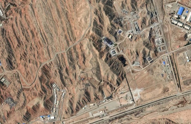
The sudden disappearance of high-resolution satellite imagery covering the Middle East has triggered speculation among analysts and observers that sensitive military information may be deliberately withheld during the ongoing regional conflict. Planet Labs, the world’s largest commercial satellite imaging company, has imposed a two-week blackout on detailed images of the entire region, according to reports highlighted by The Economist.
The California-based firm, which operates one of the largest constellations of Earth-imaging satellites, provides data used by governments, journalists, researchers and humanitarian organizations around the world. Although the company is privately owned, many of its key clients include Western military institutions such as NATO and the United States Navy, making its imagery an important source of independent verification during armed conflicts.
Planet Labs said the temporary restriction is intended to protect U.S. and allied forces as well as both military and civilian infrastructure in the region. The company indicated that the decision was designed to prevent sensitive operational details from being publicly revealed while military operations are ongoing. At the same time, the firm said it is expanding its internal monitoring of conflict-related developments, including wider coverage across Iran.
The blackout, however, has prompted questions among analysts about whether the move serves a broader purpose beyond operational security. Some observers argue that limiting public access to satellite imagery could also help prevent the disclosure of sensitive battlefield information that might undermine official narratives about the conflict.
Recent developments have intensified such speculation. Early satellite images from the first days of the war reportedly captured the impact of precise Iranian strikes against American military infrastructure in the region, including radar installations, bases and oil facilities. Analysts who examined the imagery said it appeared to reveal vulnerabilities in U.S. defensive systems that were not widely acknowledged in official statements.
Those images circulated widely among open-source intelligence communities before the blackout was introduced. Observers suggest that such evidence may have increased pressure on satellite imagery providers to limit the availability of similar data in order to avoid exposing further weaknesses.
Another concern raised by analysts involves the potential suppression of visual evidence documenting damage to American or allied assets. While governments often cite operational security as the main justification for restricting imagery, critics argue that the absence of independent satellite verification can make it difficult to assess the true scale of military losses during a conflict.
If images showing destroyed infrastructure or damaged bases remain unavailable to the public, analysts say it becomes harder to challenge official claims about battlefield outcomes. This dynamic has raised fears that satellite imagery—once viewed as a powerful transparency tool—could increasingly become subject to geopolitical pressure.
The blackout may also affect perceptions of the conflict in oil-producing regions of the Middle East. Satellite images taken earlier in the war reportedly showed damage to refinery facilities in some Gulf states following missile strikes. These findings appeared to contradict public statements suggesting that certain oil production shutdowns were voluntary measures rather than the result of direct attacks.
Analysts say imagery restrictions could help governments manage such narratives by limiting visual confirmation of damage to energy infrastructure. In an era where satellite photographs often provide the most credible independent evidence of events on the ground, controlling access to those images can shape global understanding of military developments.
The current blackout is not the first instance in which governments or international institutions have restricted satellite imagery during periods of conflict. In May 2025, the European Union reportedly delayed and degraded images from the Sentinel-2 Earth observation satellites while U.S. and European naval forces were responding to Houthi attacks on commercial shipping in the Red Sea.
Similarly, Planet Labs previously delayed the release of high-resolution imagery from Gaza during intense fighting in 2023, a decision that drew criticism from some transparency advocates who argued that open satellite data had become a crucial tool for documenting the impact of modern warfare.
Over the past decade, commercial satellite imagery has transformed the way conflicts are monitored. Private companies now operate hundreds of small satellites capable of capturing detailed images of almost any location on Earth. These images have been widely used by journalists, researchers and human rights groups to verify troop movements, track military build-ups and document potential war crimes.
The growing influence of open-source intelligence has changed the relationship between governments and commercial satellite providers. While these companies operate independently, their services are often intertwined with national security interests, particularly when governments are among their largest customers.
This relationship can create complex pressures during times of war. Governments may seek to restrict information that could endanger troops or reveal sensitive operational details, while analysts and transparency advocates argue that public access to satellite imagery plays an important role in accountability and independent verification.
The temporary blackout over the Middle East illustrates this tension. While Planet Labs insists the measure is designed to protect military and civilian infrastructure, critics worry that such restrictions could set a precedent in which satellite imagery becomes selectively available during politically sensitive moments.